Survey: working on a digital twin of the levee
- 25 October 2020
- Francien Horrevorts
- Flood Defence
During the Polder2C’s project, many experiments and tests are being done on the levees. In order to interpret their significance correctly, we need to know as much as possible about the current state of the levees. For this purpose, several survey activities are being undertaken.
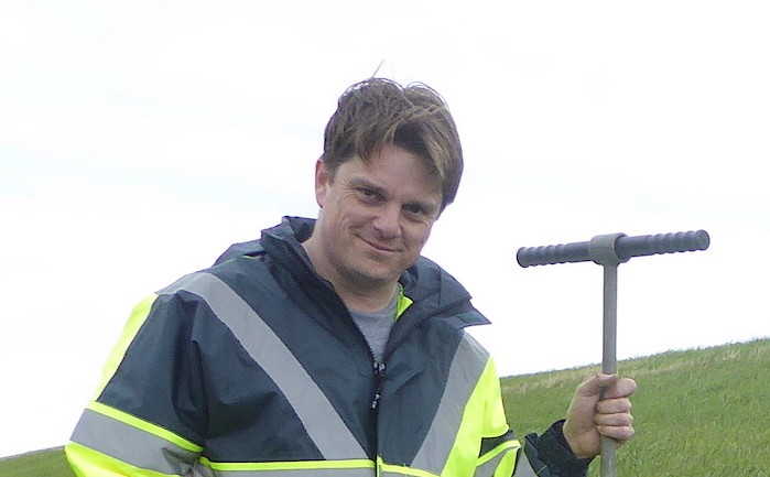
Davy Depreiter, Flanders Hydraulics Research, has been working on the planning and organisation of surveys for several months now and will give a short update.
Digital twin of the levee
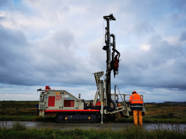
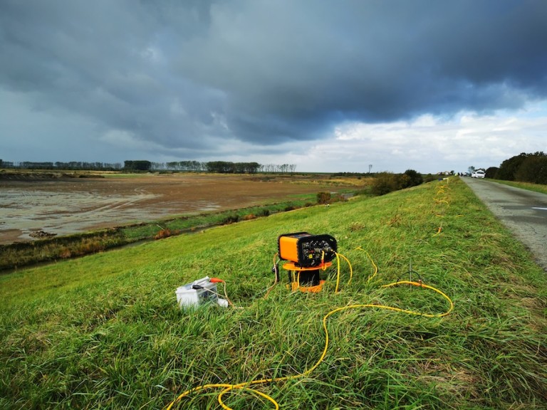
The collection of data involves a lot of work, explains Davy: “There is quite a lot of information to be collected. We want to know what the levee looks like on the outside. Therefore, topographic measurements tell us everything about the height, shape of the levee and vegetation mapping gives information about the grasses and plants that grow on the Dutch and Belgian levees. We also want to know what the levees consist of on the inside, what layers of material we find, the thickness and strength of these layers. Therefore, soil samples are collected and analysed in the lab with different techniques. During the project, a “digital twin” of the levee will be made, based on all these data.”
“A digital twin is a computer model of the levee which can be used as a data source to simulate experiments. This will help us understand the levee, predict the outcome of experiments, but can also be used to test and improve hydraulic and levee damage models, and develop new models.”
Survey progresses well
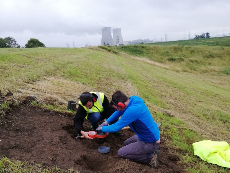
Davy is content with what has been achieved already: “The data collection progresses very well. So far, we have obtained ERT (Electrical Resistivity Tomography) profiles, which help us understand the internal structure of the levee. We have also finalised drone mapping, which provided a very detailed spatial model of the environment. Vegetation mapping of the entire levee was done by INBO (Instituut voor Natuur en Bos Onderzoek) and recently, students of the HZ University of Applied Sciences partly repeated this exercise as an educational activity. Currently, erosion and strength tests of soil samples are being done in order to determine how well the levee cover is resisting overflow of water and overtopping of waves. The more data we collect, the better predictions will be made by the mathematical models about the behaviour of the levee.”
Next steps of the survey
Davy is positive about the next steps of the survey: “We are already well on the way to having the data we need. We will try to validate the predictions with physical overflow and overtopping experiments, feed the models with more data and improve and expand the data set. The model will become more intelligent and accurate as time goes by.” Covid was the greatest threat to the planning of the survey, after all, the data needed to be collected on the project site. “All teams have given their all to do all the tests and measurements. Our planning has been delayed a bit but in the end we have not lost any of our activities and we are on the right track.” Davy adds.
Great teamwork
There are several things that make Davy proud. “The teamwork. Everyone walks the extra mile and the flexibility and inventiveness of the people in the field is incredible. We are all in it for the same goal and any problems are solved on the job. The cooperation between the partners, institutes and organisations is fantastic and I hope it will continue like this. Also, it is great to see our plans come to life. I will be immensely proud when we can use the data to make the digital twin so we can keep learning about levee systems and elevate the knowledge level of failure mechanisms.” Davy beams.
Want to know more?
Do you want to learn more about the several data sets and techniques that are part of the survey? Read more about the survey.