Inspection Exercises
One of our goals is to train levee guards and to improve the current inspection method. Polder2C’s enables for consolidation of knowledge by sharing ideas on and by performing levee observations, and by developing, testing and validating a new inspection app.
About the newly developed app
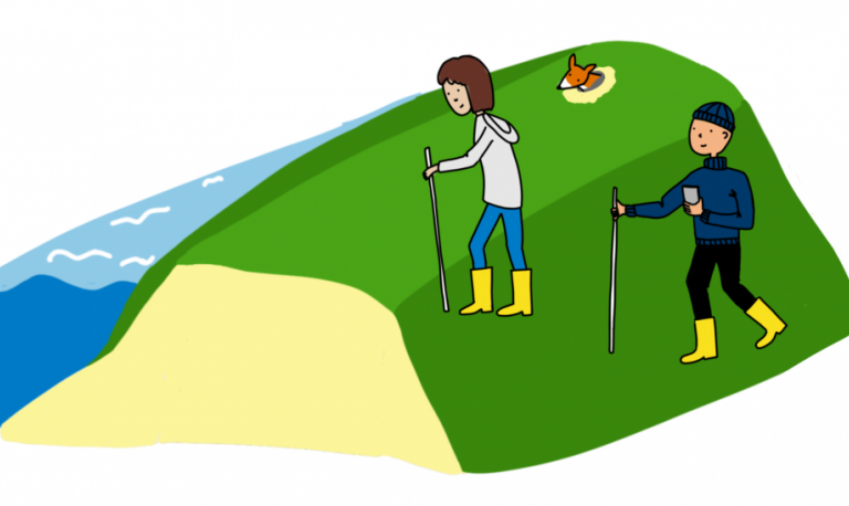
The levee app is developed by ESRI to organise observing and inspection of levees for non-expert levee inspectors. The app enables levee guards to report damages, including the damage location, size and photos.
Levee inspection exercise
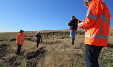
On-site damages in the Hedwige-Prosperpolder will be simulated from easy, fast and simple to more complex, scaling up the severity, risk and complexity. The newly developed app will be evaluated during these simulated damages. The app will be tested during different conditions such as at night, when it is raining or when the inspection conditions are perfect. The evaluation can coincide with other exercises as damages created during the Destructive Field Tests, or other emergency response tests provide interesting test conditions. The goal is to train people to be competent flood defence guards who can use the skills and tools developed in their own area. We aim to organise and execute a full scale international exercise at the end of the project.
Exchanging ideas on innovative observation techniques
Levee guards will be learning from each other about levee observation to improve the inspection method. Knowledge exchange is key to improve the performance of levee inspection exercises. The app will therefore also be included in the emergency response toolbox developed for Knowledge Infrastructure.
Updates
Online and hybrid inspections due to Covid-19
Covid-19 asks for alterations to the original inspection exercise. Next to onsite levee inspections, we also practiced hybrid and online exercises.
Results from this activity
Want to know more? Get in touch
